
Sources for Odessa Neighbors
For Odessa neighbors, start with a block, not a name. The Ector CAD map can locate a parcel by property ID, address, or owner, and a parcel click provides a route to CAD details. The appraisal roll then supplies an account, owner name as displayed, location, legal description, value history, taxing units, and an owner mailing address. The City GIS gallery adds public planning and service layers. None of these sources is a roster of the people living on a block, so keep owner, mailing, situs, and public-context results separate.
| Odessa block source | What it can show | How to reach it |
|---|---|---|
| Ector CAD map and account | Parcels, account link, owner and appraisal context | Public map and search |
| City of Odessa GIS | Plats, voting districts, flood, parks, hydrants, planning layers | Public gallery |
| Ector Elections | Election information and lawful public-record request route | Office and request form |
| Recorded declarations | Legal documents that may identify an association or property rule | County Clerk index |
| Library directories | Date-stamped historical address leads | Library, catalog, or microfilm |
Ownership and occupancy are not interchangeable. Ector CAD calls the property location the situs and separately stores a mailing address for tax correspondence. The mailing recipient may be outside Odessa, and a tax owner may not occupy the property. A directory or permitted civic record can be a dated lead, not confirmation of a current household. Note: Keep the source date and exact parcel account with every block result, because a later deed, tax update, or address change can alter the trail.
Ector CAD for Odessa Neighbors
The Ector County Appraisal District search is the best local starting point for connecting an address to a parcel account. Its address form accepts an optional number and direction, a required full or partial street name, and an optional suffix. Results display the account number, owner name, location, and value. The advanced screen can narrow by a street-number range, street, city, subdivision, neighborhood, parcel number, tax district, property use, zone, acreage, and construction-year range. Those filters make it possible to inspect a small block without guessing at a person.
Save the account number, legal description, situs, and displayed mailing address separately. A parcel is a defined unit of land; its legal description may use a lot, block, subdivision, survey, abstract, or tract instead of the street name. CAD itself cautions that tax values are preliminary and that appraisal data is not proof of title or occupancy. When a question needs a recorded ownership change, use the account's legal description as a bridge to the County Clerk's deed index.
Odessa GIS and Neighbors
The City of Odessa GIS is a separate municipal geography source. Its gallery describes public maps for plats, voting districts, planning, flood zones, solid-waste schedules, fire hydrants, and parks. These layers can explain the public setting around Odessa neighbors, but the City page is not a substitute for the CAD parcel record. Retain the map label and layer date, especially when comparing an old address or planning document.
GIS staff are listed at 119 W 4th Street, Suite 108, with a 432-335-4647 phone number. The research did not locate a current public adjacent-parcel tool or a citywide neighborhood-boundary file. Ask the City or County for an existing map when a published layer does not answer a specific geography question, rather than assuming a map label identifies a household.
Odessa Neighbor Community Routes
Association and civic sources can identify a public point of contact, but they should not be treated as a roster of Odessa neighbors. The research found a state management-certificate search that can surface Odessa postal-city entries, along with City boards and commissions and the Odessa Police Neighborhood Watch program. The HOA results can use either Ector or Midland County labels because an Odessa postal-city label is not a county boundary. Confirm the parcel county and recorded declaration before assigning an association to a block.
| Public community route | Useful limit |
|---|---|
| Texas management-certificate search | Association lead only; verify the declaration and parcel county. |
| Odessa boards and commissions | Public service roles, not a residential directory. |
| Odessa Police Neighborhood Watch | Block-captain liaison and meetings, not a member list. |
Neighborhood Watch material describes liaison work and public meetings at the OPD training facility. It can help a resident find a public program, while still protecting private contact details. The City boards page is similarly useful for civic context, not for drawing conclusions about where a board member lives.
Odessa Records Near Neighbors
The City archive search uses Keywords, Archive category, Time Period, Date Range Start, and Date Range End. Search a street, subdivision, project, utility, or public notice, then retain the category and date with the result. An archive hit documents a public action, such as a notice or meeting item. It does not establish a private resident connection.
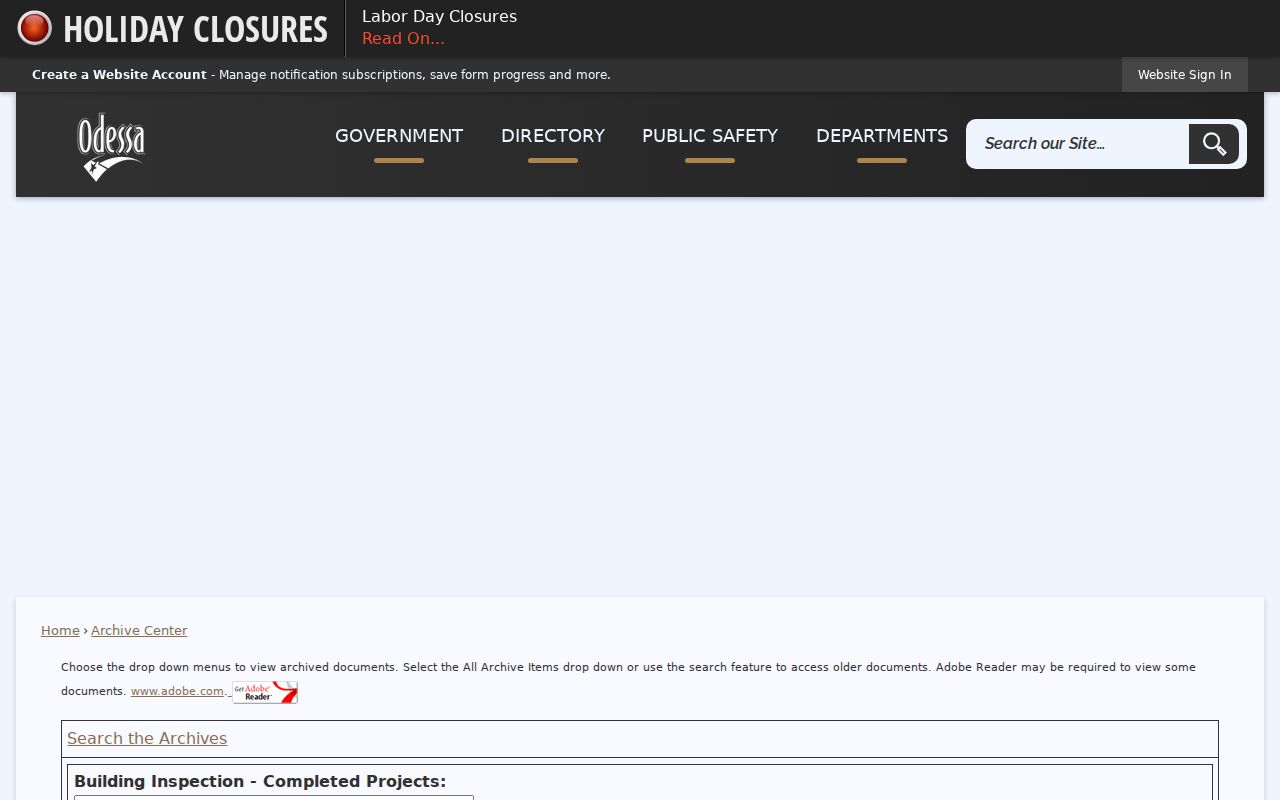
The archive controls support a narrow, dated search, which is more useful than an unbounded name query when a block has a known project or public notice.
For a current development or permit lead, Odessa Development links to MGO Connect and lists residential, commercial, plumbing, site, subdivision, and zoning workflows. The published workflow says an account holder verifies a phone number, uploads documents, pays fees, and follows status, comments, and inspections. Its dynamic public search fields were not captured, so do not assume it exposes every file.
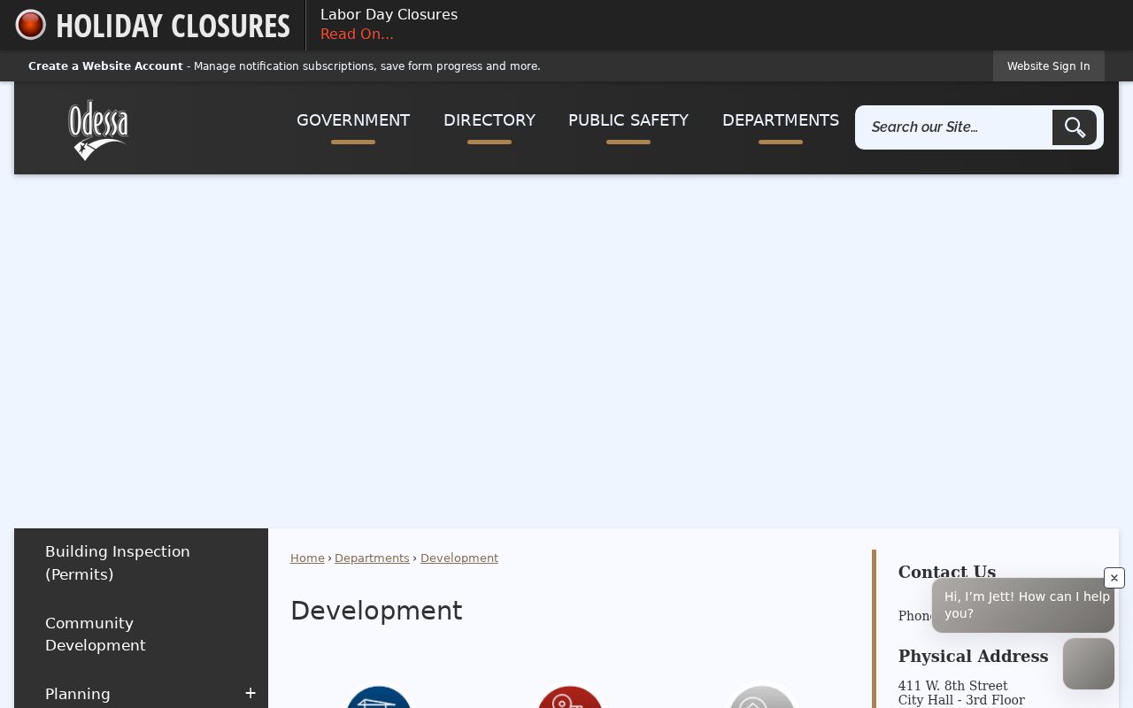
Use the development categories to route a request by address or case number, then ask for an existing record through the appropriate City office if no public result appears.
Mapping Odessa Neighbors
Use a repeatable flow for Odessa neighbors: full address, USPS-standard form, CAD account, parcel map, surrounding parcel accounts, then recorded document or City context when needed. The map provides geography first. It does not create a social connection among adjacent owners, and it does not identify every resident. A name or mailing line should remain attached to its source and date.
- Search the address in the CAD map or the CAD address form, keeping direction, suffix, unit, and ZIP with the query.
- Open the subject parcel and each immediately adjoining parcel, then record only the account, situs, legal description, and displayed owner relationship.
- Compare a mailing address with the situs without treating either as proof of occupancy. Use a County Clerk record when the legal ownership trail matters.
- Use City GIS for public layers and a dated archive or permit request for a public action tied to the place.
When the task becomes a full named-street trail rather than the immediate block, use the Odessa street directory for the address-by-address record method. Note: A no-result on one map or index should be logged with its search terms and date, not treated as proof that a parcel or record does not exist.
Official Records and Neighbor Tools
Official records are strongest when they answer the narrow question each custodian manages. A CAD card can describe a tax account. A deed index can identify the parties to an instrument. A City archive item can show a dated public action. Commercial neighbor-search products may combine older addresses and public indexes, but their update schedules and source trail can be uneven. Treat such a result only as an unverified lead, then return to the named government or library custodian.
| Source type | Strength | Care needed |
|---|---|---|
| Official parcel or deed record | Named custodian and defined field set | Owner or party is not automatically an occupant. |
| City GIS or archive | Public geography and dated civic material | Layer or record does not create a household tie. |
| Commercial compiled result | Possible starting lead | Check identity, date, and source with an official record. |
Odessa Geography for Neighbors
Postal labels need the same care as parcel labels. Odessa has ten listed postal ZIP codes, but USPS operational groupings are not neighborhood maps. The research also found that state HOA results can call an association an Odessa postal-city entry while applying an Ector or Midland County label. Check the full address in USPS ZIP Code Lookup, then use CAD, the parcel's legal description, and City GIS for the county or municipal question.
This is a useful geography check when a block looks local but its postal label differs from a City or County record. Postal service, city limits, tax district, and association boundaries are separate systems. A difference between them is a prompt to verify, not a reason to merge them into one neighborhood claim.
Privacy Limits for Odessa Neighbors
Texas public access has real boundaries. The voter file does not expose every address or identifier: Social Security, driver's-license, and state-ID numbers are confidential, and protected voters or Address Confidentiality Program participants may not appear on an ordinary list. The Texas DPS Address Confidentiality Program provides a substitute address and mail-forwarding route for qualifying households. Never try to reconstruct a protected address from parcel, voter, vehicle, or other records.
Voter-file requests also carry a use restriction against commercial advertising or promotion. Texas Penal Code sections 42.07 and 42.072 address harassment and stalking. For an immediate safety issue, contact law enforcement instead of using a records search. Public access helps with civic and property questions, but it is not permission to monitor, pressure, publish, or repeatedly contact another person.
Lawful use. Odessa neighbors records may support personal, civic, or property research. Do not use them to stalk, harass, intimidate, or harm anyone, and do not share a protected address.